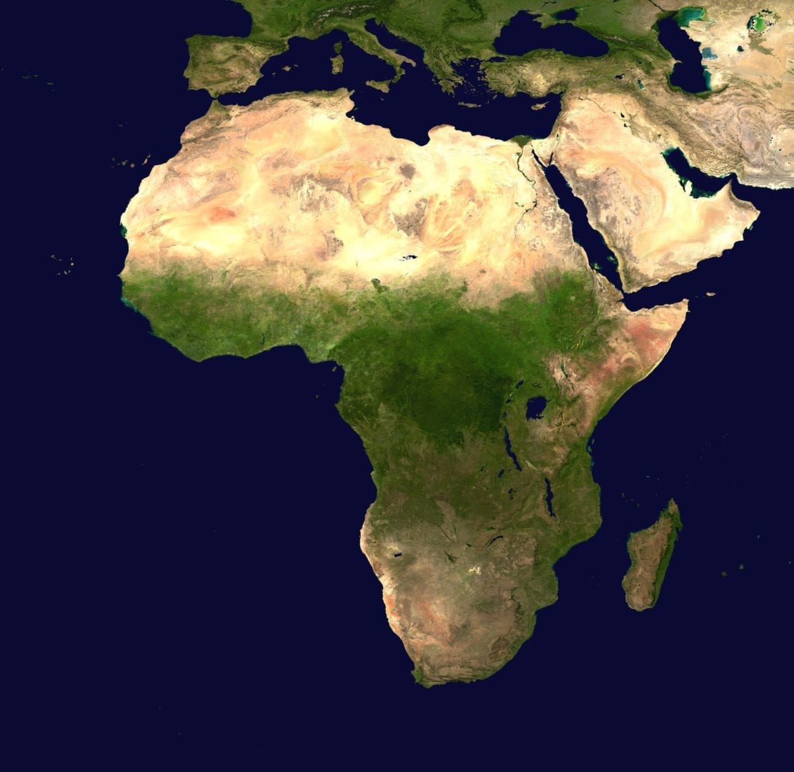
Water scarcity in Africa and parts of the Middle East is now being tracked through the use of satellite data.
Information on the amount of water being used to irrigate crops is being tracked on an online database which makes use of satellite information and Google Earth images. Aside from water use for irrigation, the database also measures evapotranspiration – how water evaporates and returns to the atmosphere.
The database, which was created by the United Nations (UN) agricultural agency, has open-access.
Maria Helena Semedo, deputy director-general of the UN Food and Agricultural Organisation (FAO), said: “Water use continues to surge at the same time that climate change – with increasing droughts and extreme weather – is altering and reducing water availability for agriculture.
“That puts a premium on making every drop count, underscoring the importance of meeting growing food production needs from efficiency gains,” she added.
Evapotranspiration
The UN presented these findings at a high-level meeting in Rome recently. The paper, entitled
Coping with water scarcity in agriculture: a global framework for action in a changing climate, explained that evapotranspiration provides a direct measure of the water consumed by a crop during a growing season and, when related to the biomass and harvestable crop yield, allows for calculating the crop water productivity.
The UN said that the database also sifts through data to produce maps that how much food is produced for every cubic meter of water consumed.
FAO, with support from the government of the Netherlands, is currently focusing on Africa and the Middle East, with detailed data expected in October for pilot areas in Ethiopia, Lebanon and Mali.