Flood risk assessments help municipalities plan flood defenses, map hazards, and protect communities with informed, cost-effective mitigation strategies.

Tshilidzi Netshitangani, principal scientist at SRK Consulting
Modelling of rainfall run-off
“Lack of hazard and risk assessments can lead to poor risk management decisions, from insufficient protection to the wasting of scarce financial resources on unnecessary protection,” he said.“In many situations, discharge measurements are either non-existent or of insufficient quantity or quality to be able to conduct a discharge frequency analysis.”In such situations, he explained, one of a broad class of tools known as rainfall run-off models can be used to convert estimates of extreme rainfall into design discharge estimates and design hydrographs.

Estimating the design discharge
Rainfall runoff models are used to estimate peak discharge, that passes a certain point during a flood.Hydraulic modelling and floodplain mapping
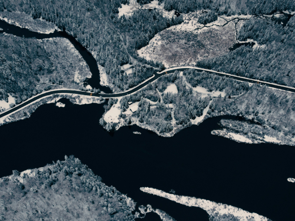 The design discharge can then be converted into an estimate of flood water level and velocity, using a hydraulic model. The Hydrologic Engineering Center’s River Analysis System (HECRAS) model is among those that SRK uses for a flood hydraulics study. HECRAS calculates high-water levels for different steady flow conditions, considering structures and controls along the watercourse.
Key outputs of the HECRAS model are the flood depth and velocity – which are used in generating a flood hazard assessment (FHA). The flood hazard along a river can then be categorised as high, medium and low, considering the water’s velocity and depth, the flood levels and extent of flooding, and the impact of excess flow on physical developments.
The design discharge can then be converted into an estimate of flood water level and velocity, using a hydraulic model. The Hydrologic Engineering Center’s River Analysis System (HECRAS) model is among those that SRK uses for a flood hydraulics study. HECRAS calculates high-water levels for different steady flow conditions, considering structures and controls along the watercourse.
Key outputs of the HECRAS model are the flood depth and velocity – which are used in generating a flood hazard assessment (FHA). The flood hazard along a river can then be categorised as high, medium and low, considering the water’s velocity and depth, the flood levels and extent of flooding, and the impact of excess flow on physical developments.