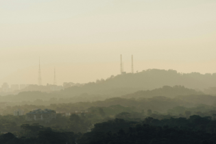
The Biomass satellite will measure forest biomass to assess terrestrial carbon stocks
A new biomass monitoring satellite will provide data to support REDD+, a UN climate change initiative aimed at reducing emissions due to deforestation, by systematically monitoring forests in vulnerable areas with no need for ground intervention.
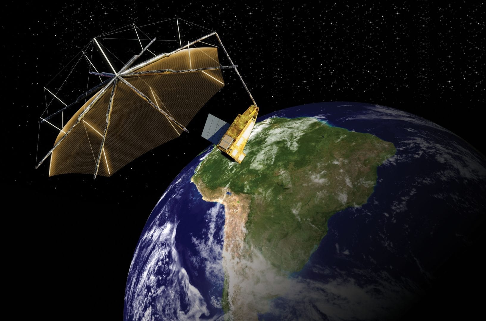
Airbus Defence and Space, the world’s second largest space company has signed a contract with the European Space Agency (ESA) to build its next Earth Explorer mission, the Biomass satellite. Biomass is due to launch in 2021 and will measure forest biomass to assess terrestrial carbon stocks and fluxes for five years.

François Auque, Head of Space Systems, said: “Collecting accurate data on the world’s biomass is key to our understanding of the world’s climate. We are very pleased to help ESA with this mission that will provide key data for scientists and climate scientists around the world.”
The spacecraft will carry the first space-borne P-band synthetic aperture radar to deliver exceptionally accurate maps of tropical, temperate and boreal forest biomass that are not obtainable by ground measurement techniques. The mission will collect frequent information on global forests to determine the distribution of above-ground biomass in these forests and measure annual changes. The 5-year mission will see at least eight growth cycles in the worlds’ forests.
By using a P-band synthetic-aperture radar, the mission will use all-weather imaging from space to estimate forest biomass. Biomass will also be able to measure paleo aquifers in desert regions to find new water sources in arid regions as well as contribute to observations of ice sheet dynamics, subsurface geology and forest topography. Because Biomass will see through the forest canopy to the ground, it will be able to provide terrain height maps, improving current Digital Elevation Models in densely forested areas.