File picture.
The project is set to be completed by October 2018.
Mbulelo Peterson, SANRAL Routhern Region’s manager said: “This road provides a regional link between various smaller towns in the middle part of the Eastern Cape.”
The length of road to be resurfaced is approximately 70,7 km extending northwards from the intersection to the N2 near Grahamstown to the intersection with the R63 at Fort Beaufort.
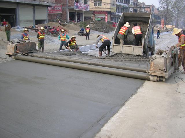
“SANRAL has appointed a contractor to undertake what can best be described as a ‘repair, patch and resurfacing’ contract,” Peterson said. “The road is being repaired where required, resurfaced, and new road markings and road studs will be installed.”
The contract commenced in November 2016 and will be complete by September 2018.
The following significant intersections are encountered along the route:
- N2 (Km 0 road marker – Grahamstown) to be resurfaced up to the road reserve boundary;
- Municipal Road (MR0086) (west) to Km 0.2 road marker Grahamstown to be resurfaced up to road reserve boundary;
- Link road to Grahamstown (Km1.1 road marker) to be resurfaced up to road reserve boundary;
- District Road (DR02039) (east) to Committees Drift (Km9 road marker) to be resurfaced up to road reserve boundary);
- District Road DR20396 (east) to Glen Melville Dam (Km 15.4 road marker) to be resurfaced up to road reserve boundary;
- District Road DR02043 (west) to Krans Drift and District Road DR02044 (east) to Committees Drift (Km 21.2 road marker) to be resurfaced up to road reserve boundary;
- Entrance to Fort Brown police station (Km 22.6 road marker) to be resurfaced
- District Road DR02055 (west) to Douglas Heights (Km 28.2 road marker) to be resurfaced up to road reserve boundary;
- District Road DR92044 (west) to Prieel (Km 50.6 road marker) to be resurfaced up to road reserve boundary;
- District Road DR02059 (west) to Prieel (Km 50.6 road marker) to be resurfaced up to road reserve boundary;
- District Road DR02475 (east) (Km 63.2 road marker) to be resurfaced up to road reserve boundary;
- District Road DR024461 (west) (Km 68.8 road marker) to be resurfaced up to road reserve boundary; and
- R63 (Km 70.7 road marker) surfaced.
“The works are located within the boundaries of two district municipalities, which are the District Municipalities of Dr Beyers Naude (previously known as Sarah Baartman) and Amathole, and in the Local Municipalities of Makana and Raymond Mhlaba (previously known and Nkonkobe),” Peterson said.
He added that the roadworks comprise “pro-active preventative maintenance and will include, but is not limited to, the accommodation of traffic, excavation, shaping and trimming of drainage, pavement repairing, pre-treatment/texture slurry, double seal resurfacing, ancillary works and surfacing of existing shoulders.
“Motorists are requested to observe and obey warning signs and reduced speed limits. Exercise extreme caution when travelling through the construction work zones,” Peterson concluded.


