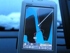
Cargo transporters, who travel from Mombasa in Kenya to the Democratic Republic of Congo, will make use of global positioning system technology (GPS) to monitor delays along the corridor which will be useful in determining what needs to be done to improve transportation.
Road transport delays between Mombasa and the DRC have made doing business in East Africa more difficult than it should be. The majority of these delays are caused by police road blocks, delays by custom offices and a poor road network among other factors. Trade Mark East Africa have already delivered 100 GPS kits to the Kenya Transport Association (KTA) so that data can be collected through the KTA members to assist in developing the 25 indicators so far identified.These indicators include monitoring of time wastage along the trade routes associated with multiple stoppages, identification of the causes of these delays, indicators on costs and fees charged at various points on the Northern corridor at the port of Mombasa, borders, weighbridges and the transit route.
This data once analyzed will provide informed and evidence- based opportunities for the development and implementation of policies towards resolving these delays for cost effective operations.


