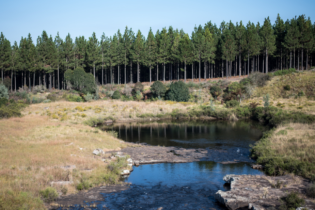
Digital Earth Africa (DE Africa), an Earth observation data platform informing sustainable development across the continent, has launched vital new tools to support wetland conservation in Africa. Introduced at the Conference of the Parties (CoP) of the Ramsar Convention of Wetlands of International Importance held in Victoria Falls in July, the first CoP hosted in Africa in 20 years, these tools were well received. With satellite data gaining recognition as an essential solution for addressing Africa’s fragmented and outdated wetlands inventories, DE Africa’s innovations are a significant step forward towards wiser wetlands conservation.
“While wetlands are central to Africa’s resilience, underpinning food security, water resources, and biodiversity, countries face distinct challenges in managing these ecosystems,” says Dr Lisa-Maria Rebelo, Managing Director (ag) and Lead Scientist at Digital Earth Africa. “These new tools, which are developed in Africa for Africa, support informed, data-driven decisions for wise and sustainable management of wetlands at a national level.” The Wetlands Monitoring Workflow and the online Wetlands Monitoring Training Module, built on 40 years of Earth observation data, are tailored to equip African nations with scalable, decision-ready solutions for mapping, monitoring, and reporting on wetland status. Along with Digital Earth Africa’s Water Observations from Space (WOfS), Waterbodies Monitoring Service and the Wetland Insight Tool, these tools address the critical lack of wetland monitoring resources across Africa.Tackling Africa’s wetland inventory challenges
As presented by DE Africa’s Earth observation Data Scientist, Mpho Sadiki, at Ramsar COP15, recent analysis of 51 African signatory country reports showed that 67% reported having a national wetland inventory. However, only 16% reported these inventories were created or updated within the last decade (2013–2022). This highlights a widespread reliance on outdated or static inventories, severely limiting effective monitoring. Compounding this are resource, data access and infrastructure constraints. “Countries often have small teams with limited funding and technical capacity to process satellite data and maintain live inventories,” explains Sadiki. “This results in difficulty aligning different data sources, leading to inconsistent and incomplete inventories. These challenges hamper national planning, conservation, and reporting efforts.”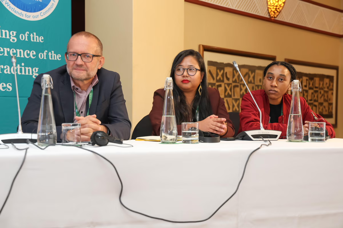
Digital Earth Africa Earth observation scientist Mpho Sadiki (far right) joined panellists at Ramsar COP15

- Free, analysis-ready datasets and tools: Continental-scale decision-ready data ready for national adaptation and ongoing use
- Capacity building and training: Workshops, guides, and co-development initiatives ensure local teams gain the skills to manage and update inventories—supporting true local ownership.
- Cloud infrastructure and decision-ready tools: Nations can map and update wetlands independently, without the burden of high IT or infrastructure costs.
- Dynamic, living inventories: By shifting from static, decades-old data to inventories that update annually, countries can effectively track both seasonal patterns and long-term change.